Geophysical Exploration

AI /ML & Marine Geophysical Exploration

Unlock the potential of artificial intelligence (AI) and machine learning (ML) in revolutionizing mineral exploration with our specialized course. In this cutting-edge program, participants will delve into the intersection of AI, ML, and geoscience to discover how these technologies are reshaping the future of mineral exploration.
4.7 (23 user ratings)
Rated 4.7 out of 5

Descriptions

Throughout the course, participants will:

  • Gain a comprehensive understanding of AI and ML concepts and their applications in the mineral exploration industry.
  • Explore real-world case studies and examples showcasing the successful integration of AI and ML techniques in geological data analysis, interpretation, and decision-making.
  • Learn how to leverage AI algorithms for predictive modeling, target identification, and resource estimation, enhancing exploration efficiency and success rates.
  • Acquire practical skills in data preprocessing, feature engineering, model selection, and evaluation, tailored specifically for mineral exploration datasets.
  • Collaborate with industry experts and fellow participants to tackle complex exploration challenges and develop innovative AI-driven solutions.


By the end of the course, participants will be equipped with the knowledge and skills needed to harness the power of AI and ML to drive advancements in mineral exploration, paving the way for more efficient, cost-effective, and sustainable resource discovery.
Course Curriculum

  • Objective
  • Different Applied domains of Geoscience
  • Marine Geophysics and Seafloor topography
  • What Role AI/ML to play
  • Role of AI/ML in real world Solutions and impact, some examples
  • AI/ML contribution in Marine Geophysics
  • How it works and what exactly it is expected do
  • Difference between AI and ML
  • What are the major tasks (detection, classification, prediction)
  • What the are the applied area
  • Results Vs Data quality,
  • What is python and How it is useful
  • Popular architectures of AI and ML Algorithms and their significance
  • Criterion for selection of
  • Supervised networks (Regression, Decision Trees, SVM, Random Forest) and Examples
  • Deep learning Neural Networks (CNN, GNN) & Examples
  • Timeseries networks (LSTM) (Examples
  • Unsupervised Networks (clustering) & Examples
  • Basic principle, technique and significance
    1. Marine Gravity
    2. Marine Magnetic
  • Multichannel 2D/3D Seismic reflection arrays
  1. Shallow seismics- Sparker-Streamer
  2. High resolution Sub-bottom profilers
  3. Single beam Echosounder
  • Multibeam Echosounder
  • Side Scan Sonar
  • Sedimentary basins
  • Geological/Geophysical tools
  • Seismic Prospecting /Seismic reflection – Multi channel seismic prospecting
  • Data acquisition/processing/Analysis
  • Identification of potential   zones
  • Core sample analysis
  • Geophysical logging and significance
  • Correlation of geophysical log and core data
  • subsurface lithology classification
  • AI/ML in lithology classification-Advantages
  • Marine Geophysical Techniques and instruments
  • Sea floor Topography-Swath Bathymetry, DEM
  • Seafloor Imaging _Side Scan Sonar imaging
  • Sub bottom Information-Subbottom profilers
  • High Resolution Shallow Seismic investigations
  • Bottom properties Cone penetrometer
  • Sediment sampling- Grab, Core
  • Echosounder data
  • MBES scattering
  • Sonar imagery
  • High resolution SBP data
  • Ports development, offshore structures
  • Channel Clearance
  • Cable/pipe laying
  • u/w Search operations
  • Selection of cable/pipeline roots
  • Search operations
  • u/w cab
  • u/w awards, eg. gas leaks
  • Salient features
  • Feed back
This course includes:
Share on:

Start your learning journey today! Enroll now in our online course.

Meet our team

Course Experts

Dr. Yegireddi Satyanarayana

Director (R&D and AI Applications in GeoSciences) Former Associate Director & Scientist G, Def.Res.&Dev. Org. (DRDO), India. Former Geophysicist, Geological Survey of India
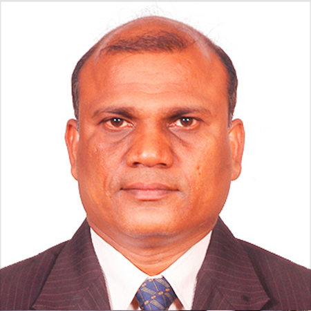
S. Uma Maheswara Rao

Director (GIS & RS), CMT GSC, TRP -IITH, M.Sc Geology
Former Director PT.PMCR, Jakarta, Indonesia
Former Manager (Geology) MECL, Nagpur
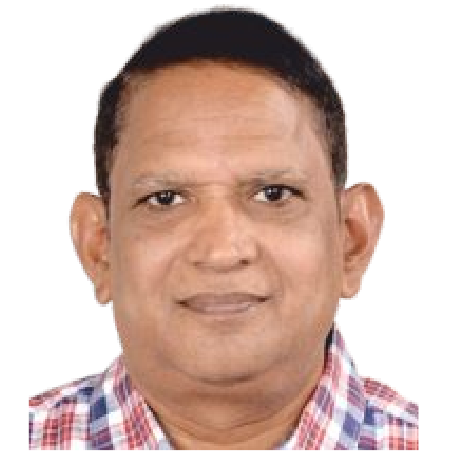
S Rama Murthy

Technical Area Expert (GIS & RS), CMT GSC, TRP-IITH
M.Sc Geology
Former Director (GSI), Hyderabad
Vikram K.Y

DIRECTOR - OPERATIONS Operations Management (IIT - Delhi) Exports Management (IIEM, Bangalore)
Advisory Council To ITPC

P. Prashanth Kumar

DIRECTOR - PLANNING

Sonika

Typically replies within a day